Lifesaving with Mixed Reality
Sunday November 15, 2020


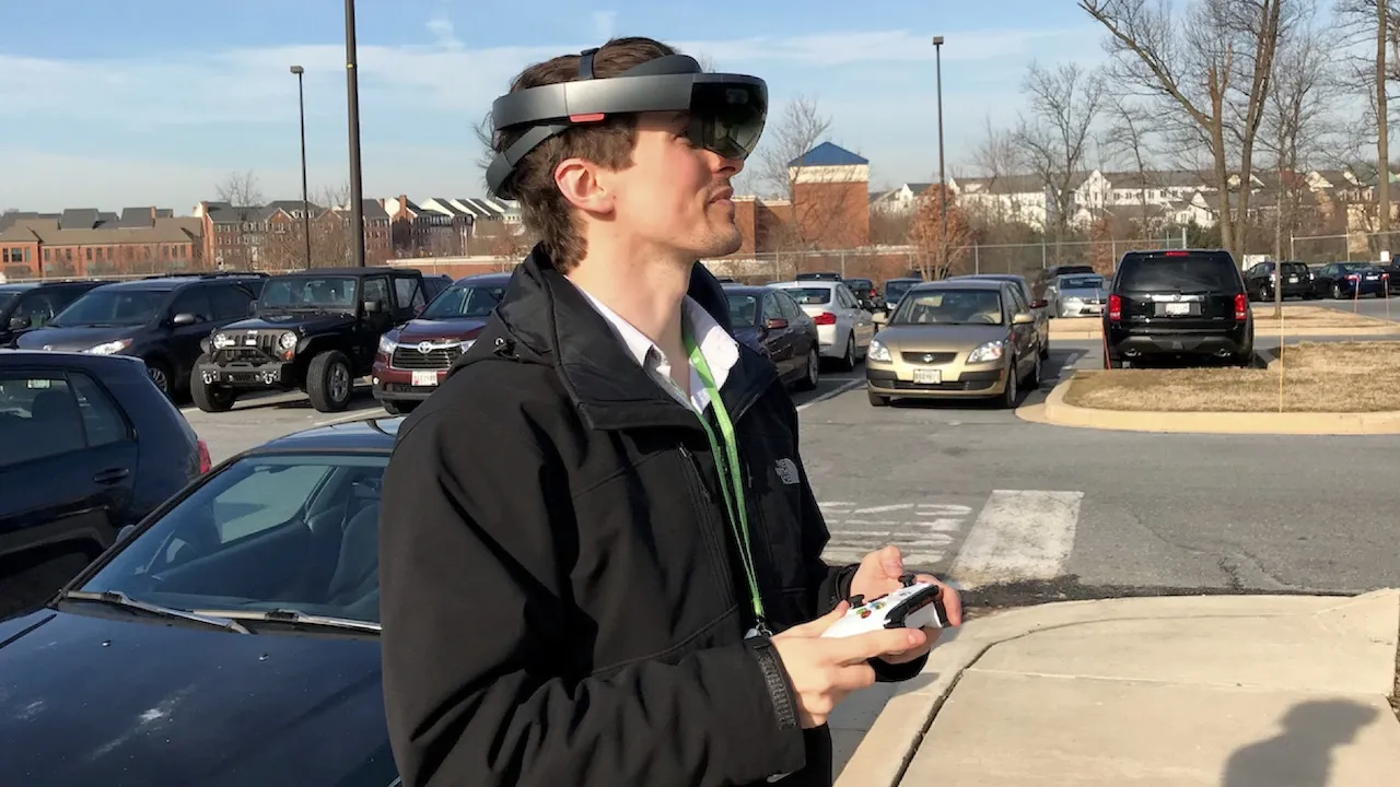
When disaster strikes, what once was, no longer is; and what is, is unrecognizable. The ability to understand the way things were is critical for those working in the response, rescue, and recovery phases of disaster management, from first responders to insurance claims agents. A team at the Johns Hopkins University Applied Physics Laboratory (APL) is developing a system that uses 3-D modeling data and precise positioning data from GPS to display an image of structures “in place” using a mixed reality head-mounted display for first responders in a disaster scenario. The proof of concept revealed significant challenges that need to be solved, and we have already proposed solutions and are working to test them. This technology is designed to assist first responders but will also have applications in other areas that require real-time data presentation, such as battlefield situational awareness.
I am pleased to have led this team so far and we are quite happy with our earliest results. You can read about them in the Johns Hopkins APL Technical Digest or check out a brief video of live results we recorded on campus last year: