ICESat and ICEsat-2
Friday November 24, 2017


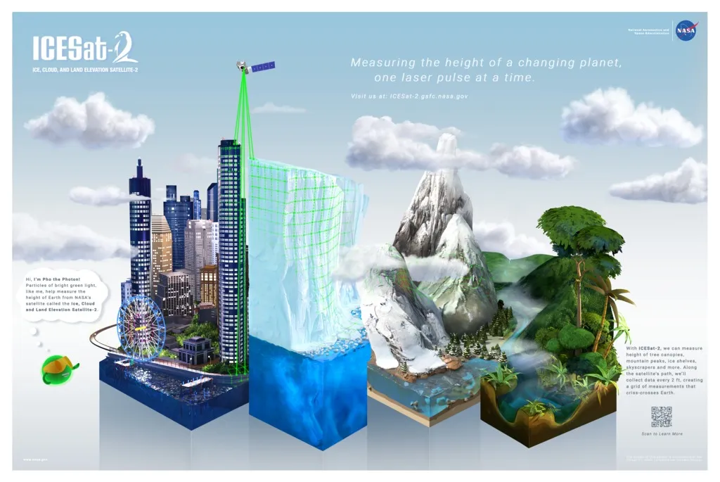
So as I mentioned a few of weeks ago, I got to spend a Friday at NASA Goddard, chilling and talking about their new projects. One of the projects we learned about is called ICESat-2. The original ICESat flew from 2003 to 2010 and measured the height of the terrain below with a laser rangefinder. You can buy a laser rangefinder from Amazon and this one works on the same concept. It shoots a laser and measures how long it takes for the light the come back. ICESat and ICESat-2 work the same way, they just shoot the laser from space. NASA has a cute animation showing it:
ICESat-2 will follow up on this and is scheduled to launch in 2018. It will have a better resolution and provide more accurate measurements than ICESat did. Also, we learned it will have a green laser, visible to the eye. If you look up when it happens above you, you should be able to see a green flash from space from ICESat-2.

Now, it is important to understand why this is important. As global warming continues, we will see more polar ice losses. The ICESat and ICESat-2 measurements are used to determine polar ice volume. Even as we move through the question of how to approach global warming, polar ice measurements tell us about what’s happening and how fast.
NASA has a website dedicated to the ICESat missions including the data for download.